Sääre Lighthouse
Location show on map
Sääre
- Category: lighthouses
- Section: Lighthouses Buildings - Misc
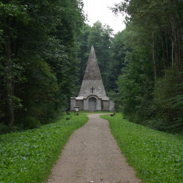
In 1646 Livonian governor general Gabriel Oxenstierna had a primitive lighthouse – a beacon – built on a little island located at the tip of Sõrve Peninsula. Autumn storms showed that the small island selected for the beacon was unsuitable and the beacon was relocated to the tip of Sõrve Peninsula. A stone tower was established there in 1770, but it was destroyed in the Second World War. The present cone-shaped lighthouse of monolithic concrete was built in 1960.
Interesting facts: • The height of Sõrve Lighthouse from its foot is 52 metres and it is 53 metres above sea level.
http://img.fotocommunity.com/images/Landscape/Sand-Sea/saare-lighthouse-a22256328.jpg
Interesting facts: • The height of Sõrve Lighthouse from its foot is 52 metres and it is 53 metres above sea level.
http://img.fotocommunity.com/images/Landscape/Sand-Sea/saare-lighthouse-a22256328.jpg


Location on map / How to get there
Find accommodation nearby (Search for accommodation close to this building is served by Booking.com)
Weather nearby
Today (25 April)

5 ° C
3.2 ° (min) 6.2 ° (max)
4.7 mm
9.7 m/s
1003 hPa
Tomorrow (26 April)

3.5 ° C
3.2 ° (min) 4.4 ° (max)
0 mm
6.6 m/s
1011 hPa
Reviews about Sääre Lighthouse Add comment
Be the first to add a review!