Pont d'Aël Roman Aqueduct
Location show on map
Aymavilles
- Category: bridges-aqueducts
- Section: Ancient Bridges - Aqueducts
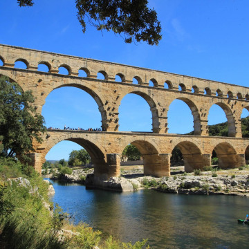
The Pont d'Aël is a Roman aqueduct bridge in the village of the same name, in the comune of Aymavilles, in Aosta Valley, Italy. The bridge, constructed in 3 BC, carried water for the agricultural lands of the newly founded colony Augusta Prætoria Salassorum (today: Aosta) across a side valley, 66 m above the bottom. It belonged to a sophisticated, 6 km long aqueduct, running along the steep cliffs of the valley. The originally three-story structure featured a roofed control corridor; notably, it was privately financed. Today, the Pont d'Aël carries a hiking trail.
Besides the Pont d'Aël, two other Roman bridges in the Aosta valley are still intact: the Pont-Saint-Martin in the town of the same name and the Pont de Pierre in Aosta.
Besides the Pont d'Aël, two other Roman bridges in the Aosta valley are still intact: the Pont-Saint-Martin in the town of the same name and the Pont de Pierre in Aosta.


Location on map / How to get there
Find accommodation nearby (Search for accommodation close to this building is served by Booking.com)
Weather nearby
Today (25 April)

7.1 ° C
-4.7 ° (min) 7.9 ° (max)
0.1 mm
3.2 m/s
1005 hPa
Tomorrow (26 April)

7.2 ° C
0.1 ° (min) 7.3 ° (max)
1.2 mm
3.8 m/s
1008 hPa
Reviews about Pont d'Aël Roman Aqueduct Add comment
Be the first to add a review!